Climbing Mt. Shirouma and the Hakuba Daisekkei
Update:2019/09/28

Description
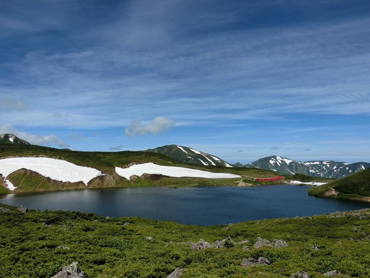
Mt. Shirouma is a 2,932m high peak of the Northern Japanese Alps and is one of the Hakuba Sanzan mountains along with Mt. Shakushi and Mt. Hakuba-Yari. Long revered by local farmers, the mountain got its name from an image of a horse that appeared in the melted snow. To the farmers it looked like a plowhorse, so they named it "Shirokaki Uma," and over the years the name became "Shiro Uma," or white horse. Read in another way, those same characters become "Hakuba."
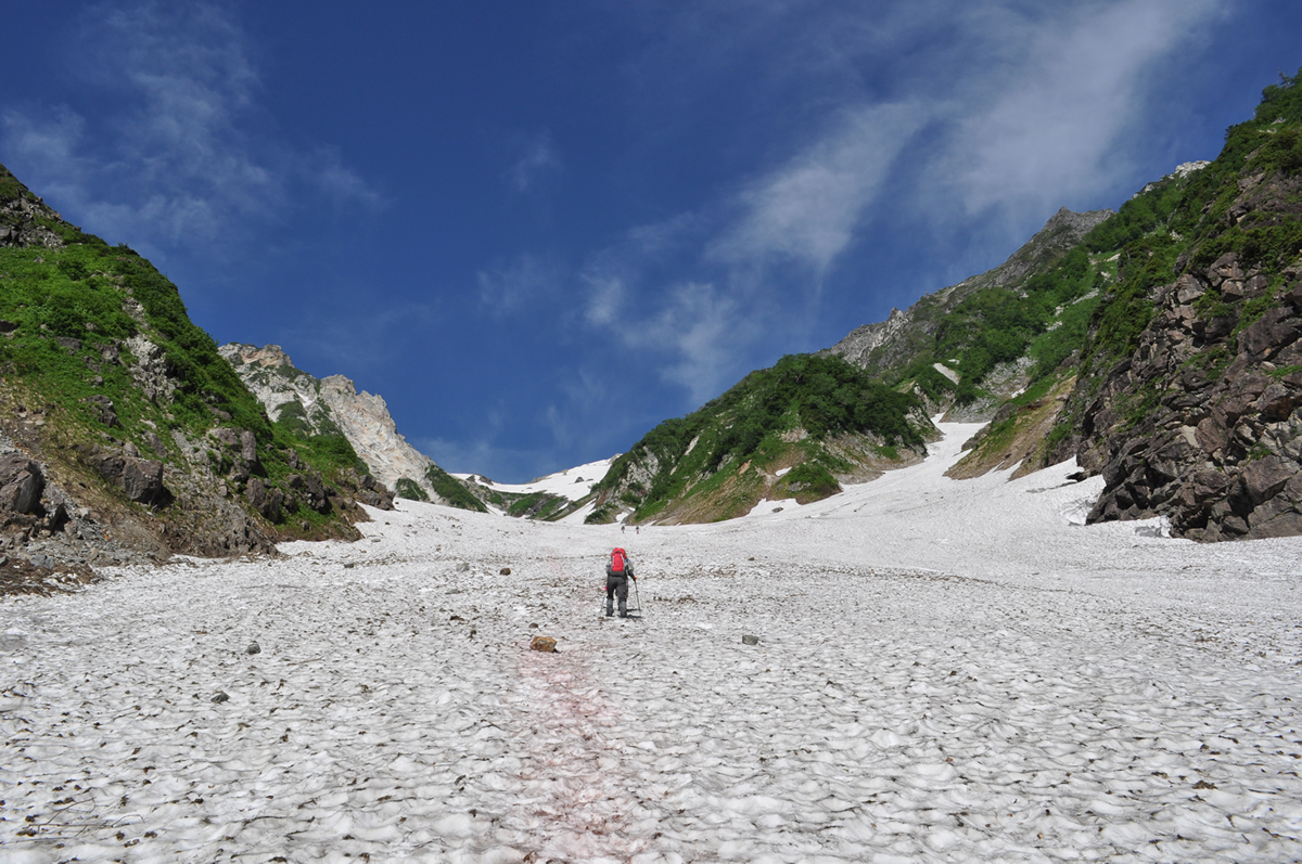
One of the most popular hiking trails to Mt. Shirouma is through the Hakuba Daisekkei, Japan's representative snow-covered valley spanning a length of 3.5km and a vertical climb of 600m. Even in summer snow remains here creating a natural air conditioner. The melted snow becomes beautiful clear streams, and the contrast of new greenery and summer snow is superb.
The hike begins at Sarukura and passes through the Daisekkei before approaching Mt. Shirouma. The hike takes 9.8 hours to complete, so staying the night is recommended. At the base of the Daisekkei is Sarukura-so, and above it is the Shiroumadake Sancho Shukusha.
| Lokasi | Hakuba Village Map |
|---|---|
| TEL | 0261-72-7100 (Hakuba Town Tourism Office) |
| FAX | 0261-72-6311 |
| info@po.vill.hakuba.nagano.jp | |
| Jam buka | mid-June to early Octobe |
| Total Distance: 13.2km | |
| Total Time: 9.8 hours | |
| Recommended No. of Days: 2 days, 1 night | |
| Elevation Difference: 1,720m | |
| Starting/Ending Point: Sarukura-so | |
| Mid Point: Mt. Shirouma | |
| Lodging: Sarukura-so, Shirouma-dake Sancho Sanso |
Access and Parking
| Akses |
By Train:Get off at Hakuba Station (JR Oito Line) -> Take the Sarukura line bus to Sarukura-so (~27 min.). Or, take a taxi. |
|---|
Share this tourist destination


