Shiga Kogen Heights(Lake Onumaike and Shijuhachiike Marshland)
Update:2019/09/30
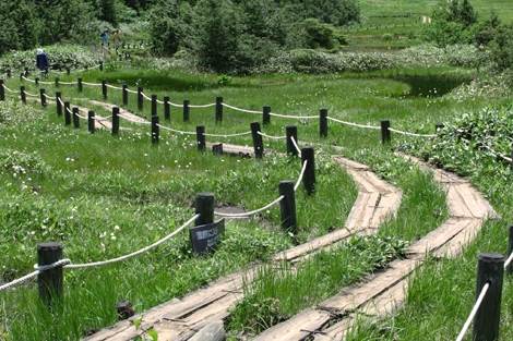
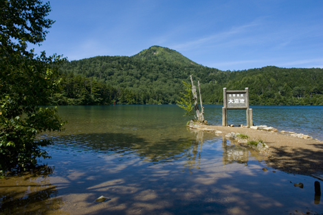
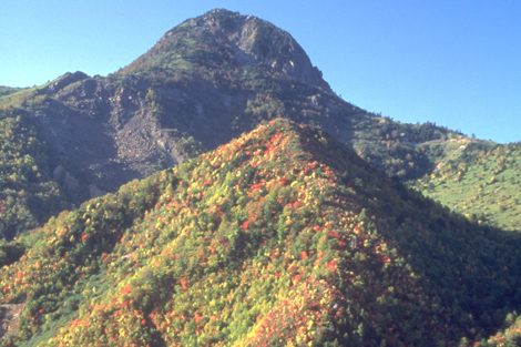
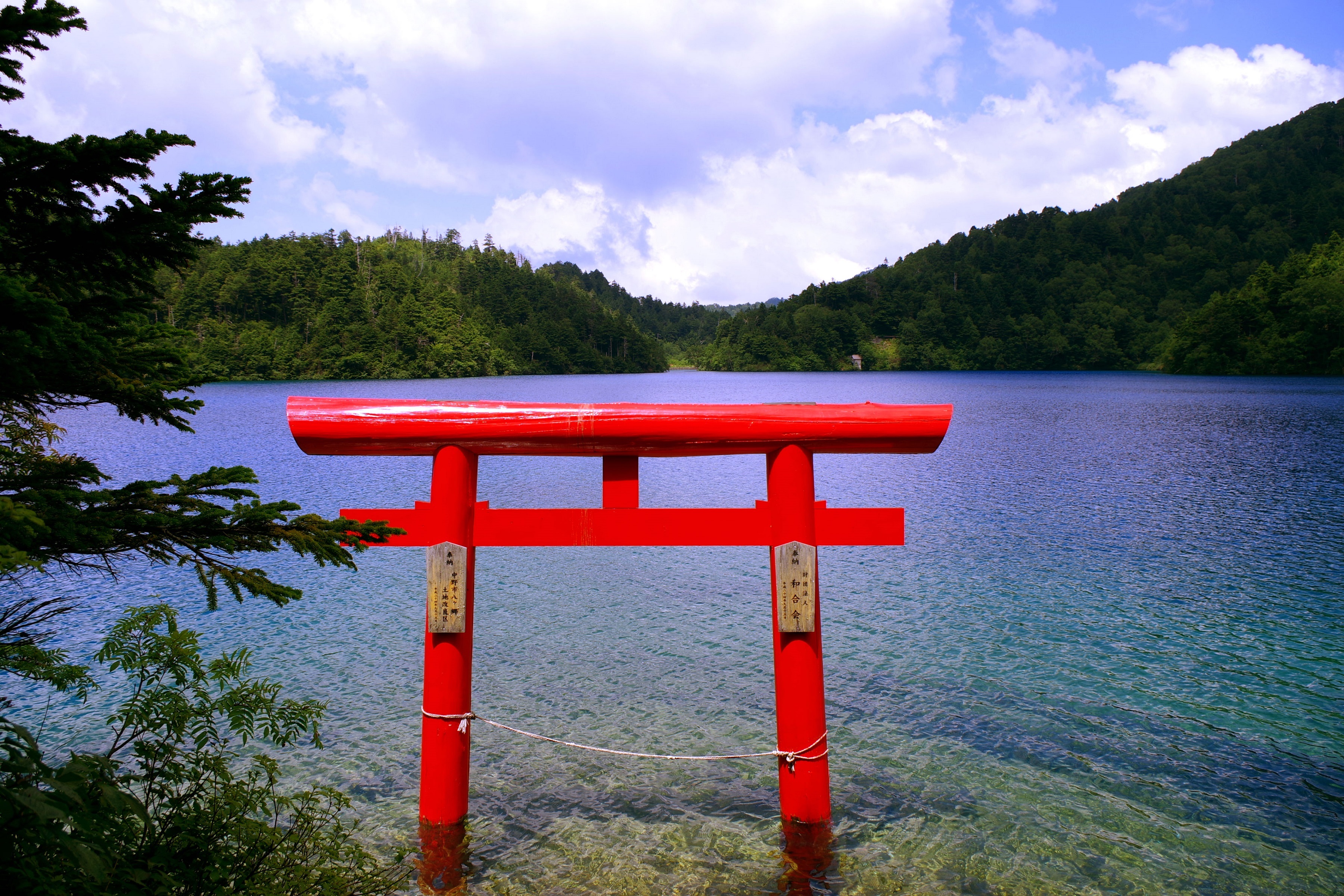
Ranging in elevation from 1500 to 2300 meters, Shiga Kogen Heights offer a variety of hiking and trekking possibilities from simple nature walks to technical mountain climbing. The area is dotted with lakes and ponds. Especially worth seeing are Shijuhachiike Marshland for its rich aquatic plant life and Lake Onumaike for its brilliant emerald green color. Several ropeways and cable cars operate in the summer, providing access to Mt. Ryuosan and other breathtaking peaks. In winter, these same lifts carry throngs of skiers as Shiga Kogen transforms into a world-class ski area.
Trekking Guides can be hired for between 2,500 to 10,000 yen depending on the course.
| Lokasi | Shiga Kogen, Kota Yamanouchi Map |
|---|---|
| TEL | 0269-34-2133 |
| FAX | 0269-34-2480 |
| shizenhogo-center@shigakogen.gr.jp | |
| Tanggal buka | Jun to early-Nov |
Access and Parking
| Akses |
Dengan Kereta:50 menit bus ride dari Stasiun Yudanaka (Nagano Dentetsu Nagano Line) -> 25 min walk |
|---|
Barrier-free Information

Share this tourist destination


